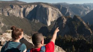
There’s no better way to get up close and experience Yosemite Mariposa County and the Sierra wilderness than by setting out on foot and hiking. Hiking is one of the top things to do in Yosemite, and when you slow down and commune with nature, you see things you might otherwise miss. Things like waterfalls, wildflowers and wildlife that you can find at any turn on Yosemite hiking trails.
Wherever you start, chances are you’re close to a number of great Yosemite hiking trails. Discover the best hikes in Yosemite from Half Dome hikes past Vernal Fall and Nevada Fall, to Yosemite hikes to lakes or through the ancient Mariposa Grove and more, there are so many trails in Yosemite National Park and Mariposa County, and so many excellent guide books and maps describing them that you’ll never be at a loss for a great Yosemite hike. And don’t forget to book an unforgettable place to stay when the sun sets and it’s time to pack it up and refresh yourself for another day of hiking in Yosemite. Because nothing beats the comfort of a warm fire when the day’s finished.
And don’t forget there are plenty of great hikes outside of Yosemite as well for you to explore.
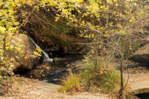
- Kemble Road HikeFollow a songful creek up Kemble Road – a quiet narrow country road that runs inside the boundary of the Sierra National Forest. Start from a parking area beneath the […]Read More
- Sierra Foothill ConservancyJoin the Sierra Foothill Conservancy in a wide variety of hikes, classes, and Open Preserve Days. These events introduce people to the extraordinary lands the Conservancy protects. It is a […]Read More
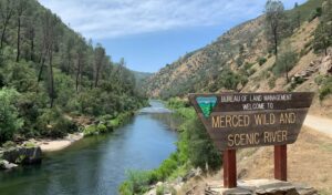
- Merced River Recreation Management AreaEnjoy a variety of activities at the Merced River Recreation Management Area which is located between the town of Mariposa and Yosemite National Park. The area includes three first-come first-served […]Read More
- Goat Meadow Trailhead and Snowplay AreaGoat Meadow’s notoriety comes primarily from the winter and its reputation as a family-friendly snow play area. However, beyond the nearby hills that make for exciting sledding trails, lies a […]Read More

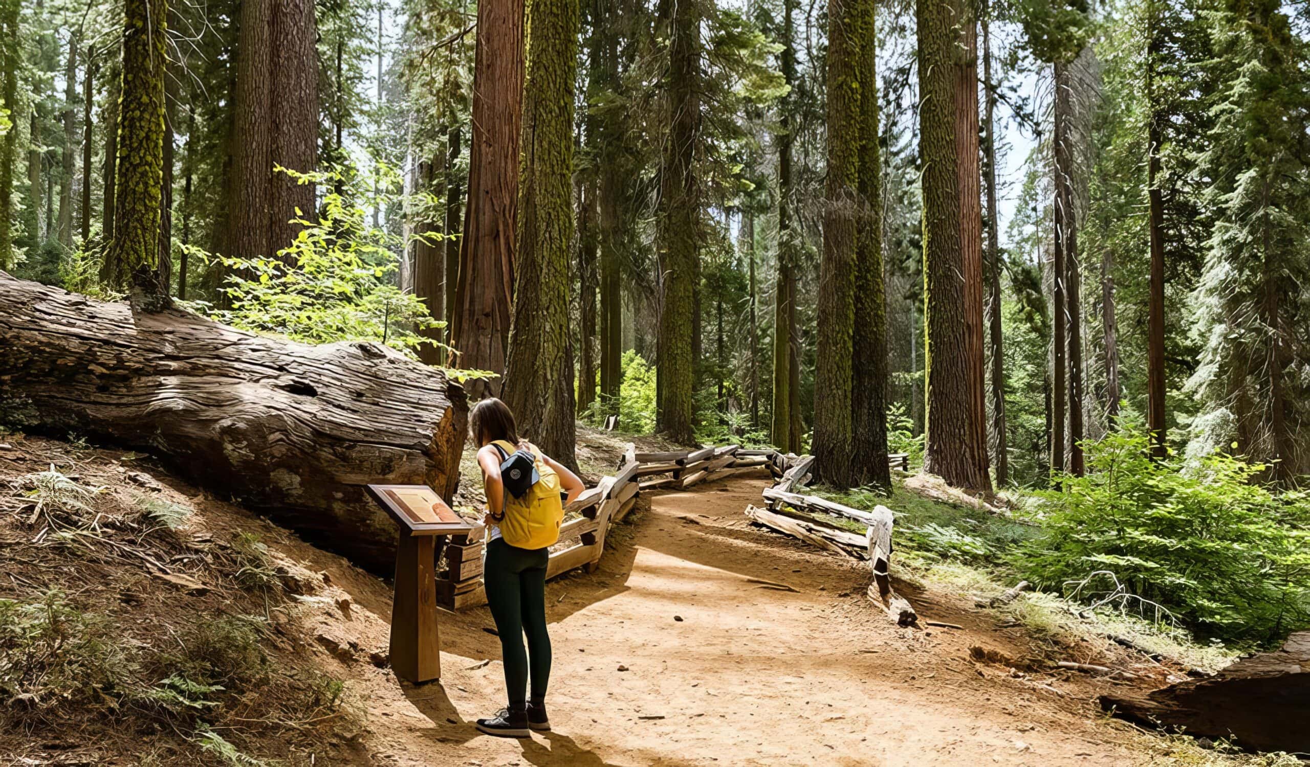
- Stockton Creek Preserve TrailDistance: 3.2 miles (5.14 km) Elevation gain: 538 ft (163.9 m) Difficulty: Moderate Time: 1.5-2 hours Begin at: Stockton Creek Trailhead This scenic hike has you just minutes away from […]Read More
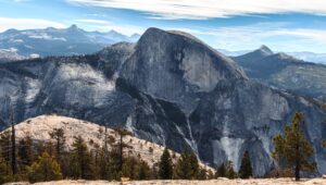
- Climbing Half Dome GuideThe most well-known rock formation in Yosemite National Park (perhaps even the United States), Half Dome is one of the most sought after climbs for hikers and rock climbers alike. […]Read More
- Panorama TrailDistance: 8 miles (12.8 km) one-way Elevation gain: 3,200 feet (975 m) Difficulty: Strenuous Time: 6 hours Begin at: Glacier Point Parking Area You’ve heard of the Half Dome Hike, […]Read More
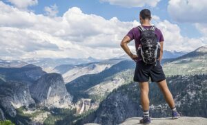
- Half Dome HikeDistance: 14-17 miles (22-27 km) Elevation gain: 4,800 ft (1463 m) Difficulty: Strenuous Time: 12-16 hours (out and back) Begin at: Happy Isles Trailhead Yosemite Valley Yosemite’s Half Dome hike […]Read More

- Dewey Point TrailDistance: 7.8 miles (12.5 km) round trip to Dewey Point; 9.2 miles (14.7 km) for Dewey Point plus Crocker Point; 10.5 miles (16.8 km) for Dewey, Crocker, and Stanford Points […]Read More
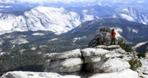
- Clouds RestCloud’s Rest, a massive granite formation just northeast of Half Dome in Yosemite Valley, is visible throughout Yosemite Valley and is an excellent trail for viewing the Valley Floor from […]Read More