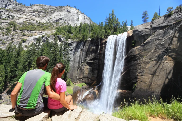
Yosemite Mariposa County, home of Yosemite National Park, welcomes visitors to experience majestic Yosemite in all four seasons. Experience the best hikes in Yosemite as you explore awe-inspiring vistas, granite icons, breathtaking waterfalls, and fascinating history while staying in Mariposa County.
Whether you are looking for a few easy day hikes or planning a multi-day backpacking adventure, nothing feels quite like the satisfaction you experience when you ascend your final switchback and reach the wide-open vantage points that overlook the Yosemite Valley – like Glacier Point, Upper Yosemite Falls and Artist Point.
With more than 1,000 square miles to explore in Yosemite National Park, chances are you are only a stone’s throw away from a great Yosemite hike.
While the most popular hikes in Yosemite are well known, such as the granite domes of the Half Dome Cable Hike (which includes taking the Mist Trail to see Vernal Falls and Nevada Falls before hitting Yosemite’s most iconic rock face), there are many lesser-known Yosemite hikes that boast some of the best views and vistas in the park without the crowds. The sights and history of these hidden spots, that can only be experienced by taking on the wild Yosemite wilderness – so lace up those hiking boots.
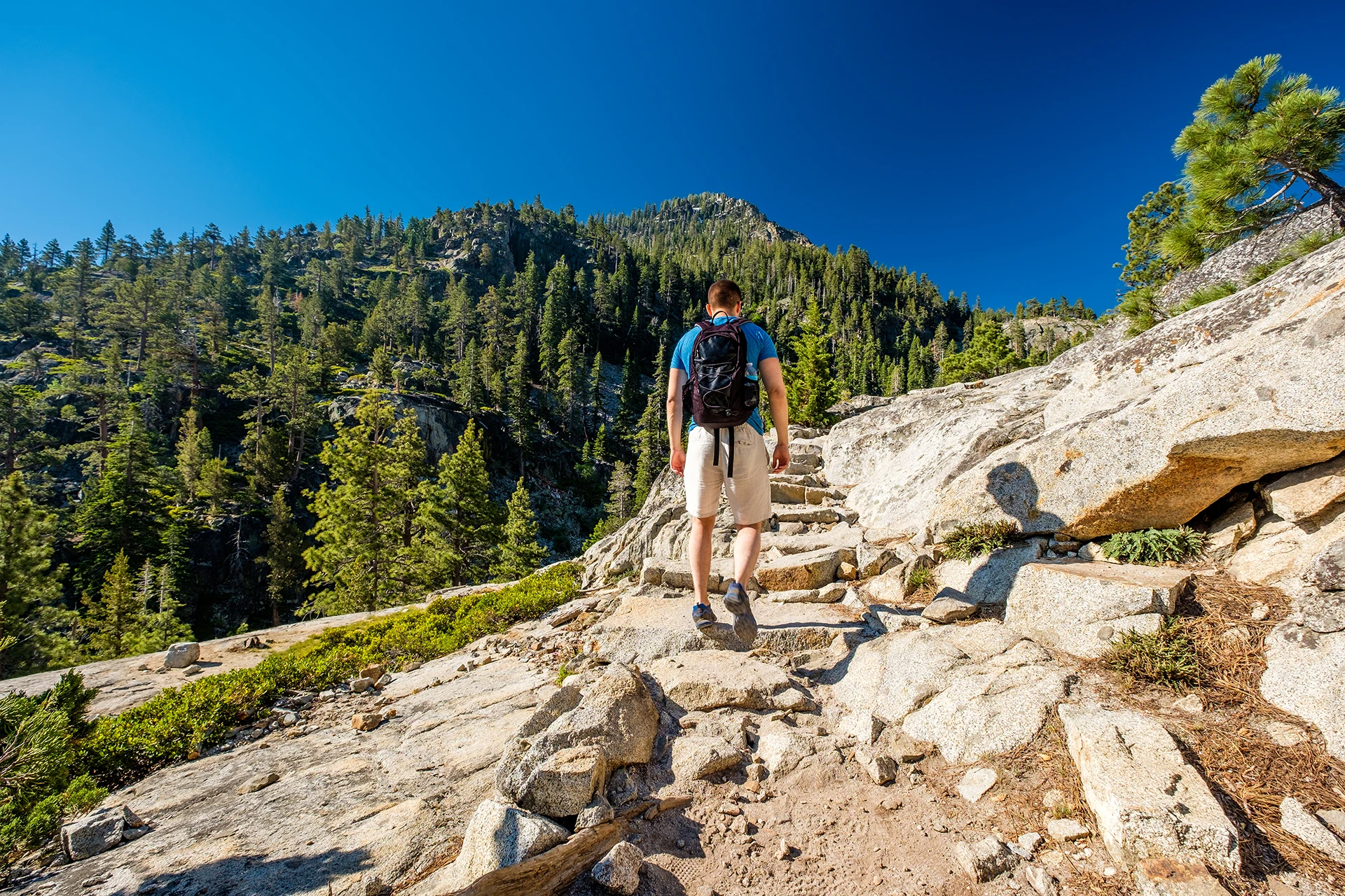
Hiking Trails in Mariposa County
Visitors to Yosemite National Park will find the right trail no matter what kind of hiker they may be. From mild treks to tough terrain, there is a trail for every level of hiker.
A good pair of walking shoes paired with a map of Yosemite and Mariposa County will put you ahead of the game when it comes to visiting this iconic national treasure and the surrounding areas. The county includes not only Yosemite, but many other places worthy of exploration like the Stanislaus and Sierra National Forests, the Merced River Recreation Management Area, Coulterville, Mariposa, Fish Camp and Wawona.
Hike the trails less traveled or knock off some of the most popular hikes in Yosemite from your bucket list. Let Yosemite Mariposa County help you plan your visit to the Yosemite Valley so you can get the most out of your experience.
Ready to get started? Check out the best time to visit Yosemite.
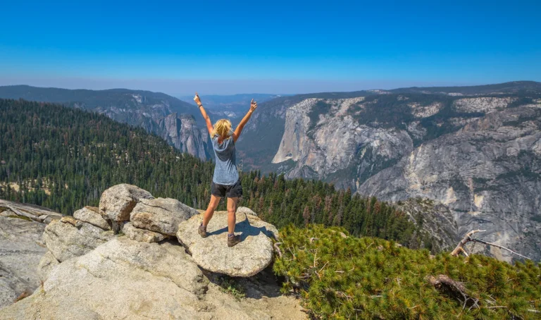
Yosemite Mariposa County offers what could be the widest variety of hikes in California. Whether it’s a slow amble through the wildflowers while the kids chase butterflies or a solo climb up the granite switchbacks as clouds pass beneath you, there’s a trail for everyone regardless of age or ability.
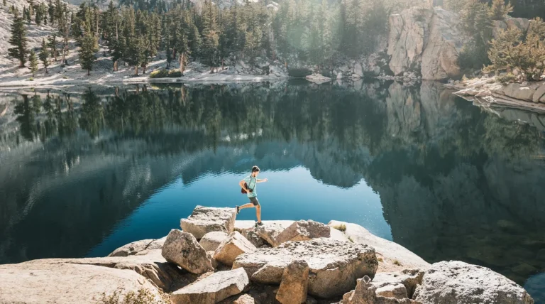
Looking for a challenge? Check out these five Yosemite day hikes that are more than worth the miles. Pack up and go for it!
Astride Mariposa: Four Days of Hiking Outside of Yosemite
Interesting and scenic trails continue beyond the Yosemite National Park border. If you’re looking for quiet trails and the path less traveled, be sure to explore some of these hiking trails just outside Yosemite.
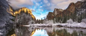


More of the Best Hikes in Yosemite
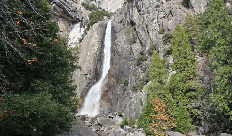
When Yosemite Falls is flowing, no trip to Yosemite is complete without a quick loop around the Lower Yosemite Falls Trail to stand on the bridge at the base of the waterfall. At just 1 mile (1.6 km) long, this short day-hike is stroller friendly, open to leashed pets, and accessible year-round.
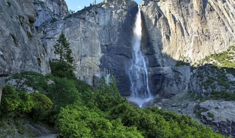
The trail to the top of Upper Yosemite Falls is a steep, and sun-drenched Yosemite classic, one of the most popular Yosemite day hikes when the waterfalls are flowing. It’s about 7.6 miles round trip (12 km) and filled with scenic views looking down into Yosemite Valley.
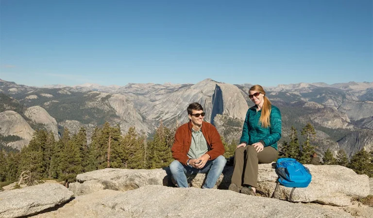
By visiting both Sentinel Dome and Taft Point in a single loop, you combine the sights from two shorter out-and-back trips with an incredibly scenic connector trail that runs along the rim of Yosemite Valley. From the summit of Sentinel Dome with its views of Half Dome, and a 360 panorama of the Sierra Nevada, to the scenic fissures and dizzying drops at Taft Point, there is a lot to see on this loop.
The loop is roughly 5.5 miles (8.9 km) with just over 1000 ft (305 m) of elevation gain/loss. You can also break this into two trips – each about 2.2 miles (3.5 km) round-trip from the trailhead to each destination separately.
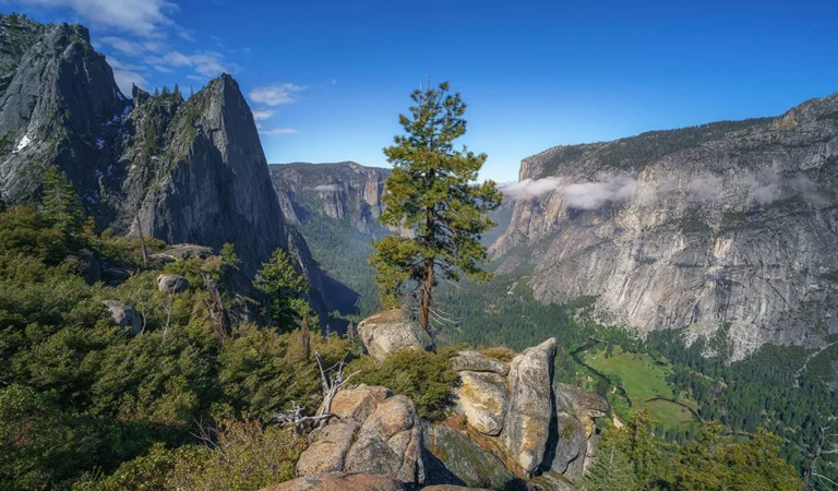
You might think, given the trail’s name, that you’d be in for a 4-mile-long hike, and you’d be almost right. The Four Mile Trail is 4.8 miles (7.7 km) long one way, and climbs from the valley floor near the base of Sentinel Rock to Glacier Point Road – an elevation gain of 3,200 ft (975 m).
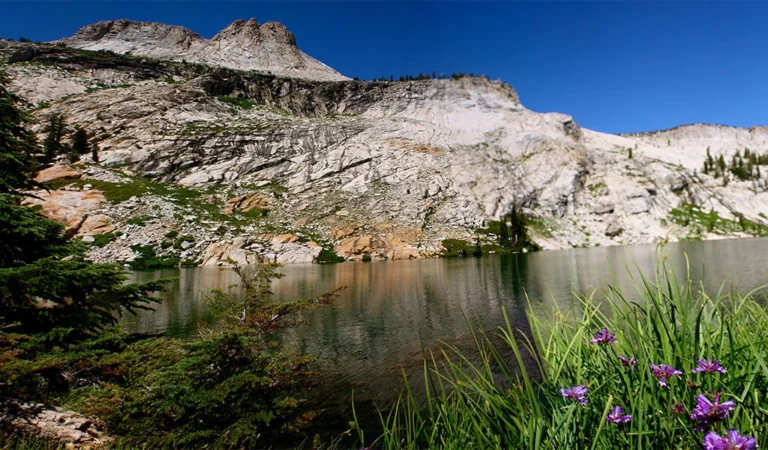
Follow the May Lake Trail through Yosemite’s high-country scenery to a clear alpine lake set at the base of Mount Hoffmann. At only 2.4 miles (3.9 km) round-trip to May Lake this is a relatively gentle introduction to Yosemite’s high country.
For those looking for a bigger challenge, an unofficial trail leads to the summit of Mount Hoffmann with views that look out from roughly the geological center of Yosemite National Park. If you want to climb Mount Hoffmann as well, prepare for a total of 6 miles (9.6 km) round trip and 2000 feet (600 m) of elevation gain.
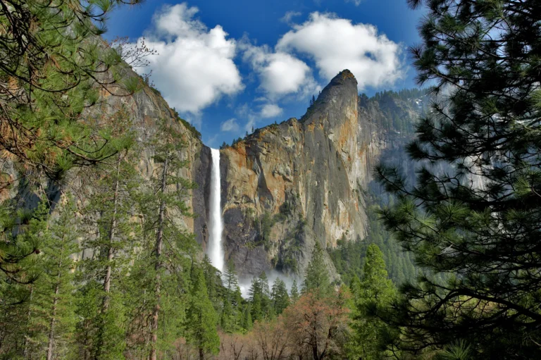
The Bridalveil Fall Trail is one of the most popular easy hikes in Yosemite Valley. It’s just a short walk to stand beneath a Yosemite waterfall that runs year-round. When the water flows are at their highest in spring, prepared to be drenched by the spray from Bridalveil Fall – some people bring rain gear.
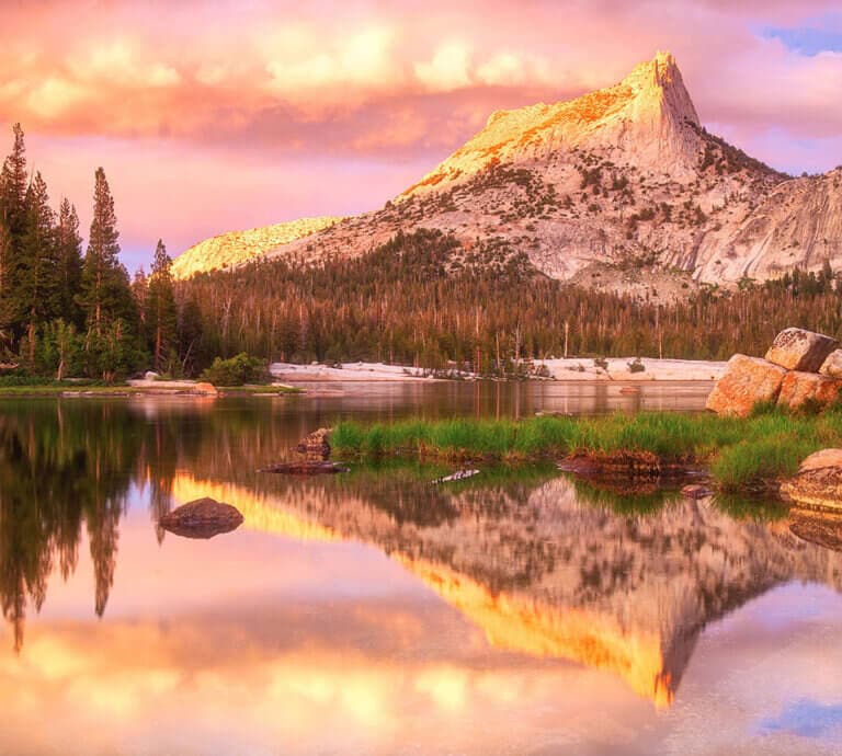
Offering stunning vistas of granite peaks, alpine lakes and wildflower covered meadows, the Cathedral Lakes Trail is 3.5 miles one way or 7 miles out and back. Taking roughly 6 hours to traverse, this hike features an elevation gain of 1,000 feet and climbs upward toward Upper Cathedral Lake. Along the way, hikers will see Echo Peak and Cathedral Peak. This hike is only accessible when Tioga Pass is open (generally early summer to late fall).
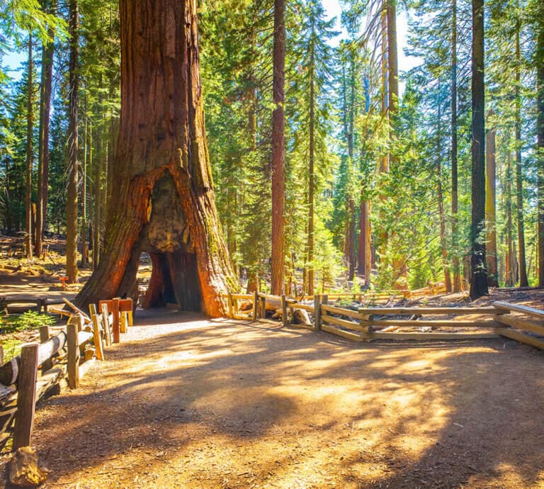
The Grizzly Giant Loop Trail – Mariposa Grove of Giant Sequoias
Located in the park’s southern region near Wawona, Mariposa Grove of Giant Sequoias is one of three Yosemite groves of the most massive trees in the world. Allow about 2 hours for the Grizzly Giant Loop Trail. This 2-mile loop starts at the Arrival Area of the grove and winds past some of the grove’s most impressive trees, including the Grizzly Giant and the California Tunnel Tree (pictured).
FAQs about Yosemite Hikes
There are 1,000 square miles to explore in the park alone. Add in the rest of Mariposa County and your trail options are nearly endless. Among the most popular hikes are the gorgeous Mist Trail hike, the easy Mirror Lake/Meadow hike and the Vernal Fall hike. See the most popular Yosemite hikes rated by difficulty here.
Half Dome Hike is considered one of the toughest hikes in Yosemite. This 14.2 mile round trip hike (23 if you set out via Tenaya Lake) has a jaw-dropping elevation gain of 4,800 feet and takes at least 10 hours to complete. It’s considered so difficult that permits are required on sections of the trail. Find more moderate and difficult hikes here.
Absolutely. There are plenty of low-difficulty hikes with easy access for every member of your group to enjoy. Not everything in Yosemite Mariposa County is a solo climb with difficult switchbacks. There are plenty of opportunities for easy walks through meadows and places to get up close with nature without requiring a shopping trip to REI. Sentinel and Cook’s Meadow Trail along with Tenaya Loop are a couple of the more popular easy hikes found in Yosemite. See our full list of hikes for everyone.
You should consider bringing the following:
- Water
- Food
- Map/compass/GPS device
- Cell phone
- Sunscreen and head cover
- Light clothing plus layers
- Worn in hiking shoes or boots
- Bug spray
- A small first aid kit
- Signaling device or whistle
Also, always let someone else know when you are headed out on a hiking trail along with your approximate location and estimated return time.


