Dewey Point Trail
Dewey Point Trail
Yosemite Valley
Yosemite Valley, CA, United States
Overview
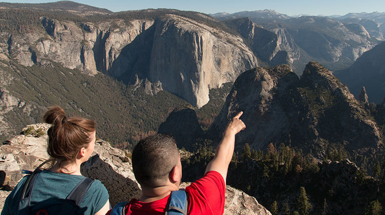
Begin by following the McGurk Meadow trail as described. The trail leads downhill 0.8 mile (1.3 km) to McGurk Meadow and the site of an old cabin that belonged to shepherd John McGurk. Continue one mile (1.6 km) past the meadow to reach an intersection with the Pohono Trail. Follow the Pohono Trail west (left) to Dewey Point, 4.1 miles (6.6 km) from the trailhead. Enjoy the unique views of El Capitan, Cathedral Rocks, Half Dome, and the Yosemite high country. Return the same way, or you can continue on the Pohono Trail west to more viewpoints and eventually the Tunnel View parking area 5.5 miles (8.9 km) beyond Dewey Point.
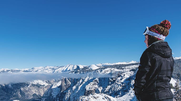
Note: Dewey Point is also a popular cross country ski and snowshoe destination during the winter months. The trail, however, is slightly different when you’re getting there on skis or snowshoes. Start at the Badger Pass Ski Area and start skiing along Glacier Point Road. The road beyond Badger Pass Ski Area will be groomed for snowshoe (outside edges of the trail), classic cross country ski (parallel tracks) and skate skiing (wide flat center lane). Please stay in the right lane for the equipment that you’re using. The trail climbs at first and then makes a short descent to a flat open area called Summit Meadow, with a restroom/pit toilet on the right. Look for signs to your left to Dewey Point. Once you’re past the meadow, the trail becomes steeper and may not be appropriate for beginner cross country skiers.
First featured photo: Theresa Ho


