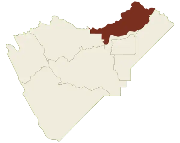
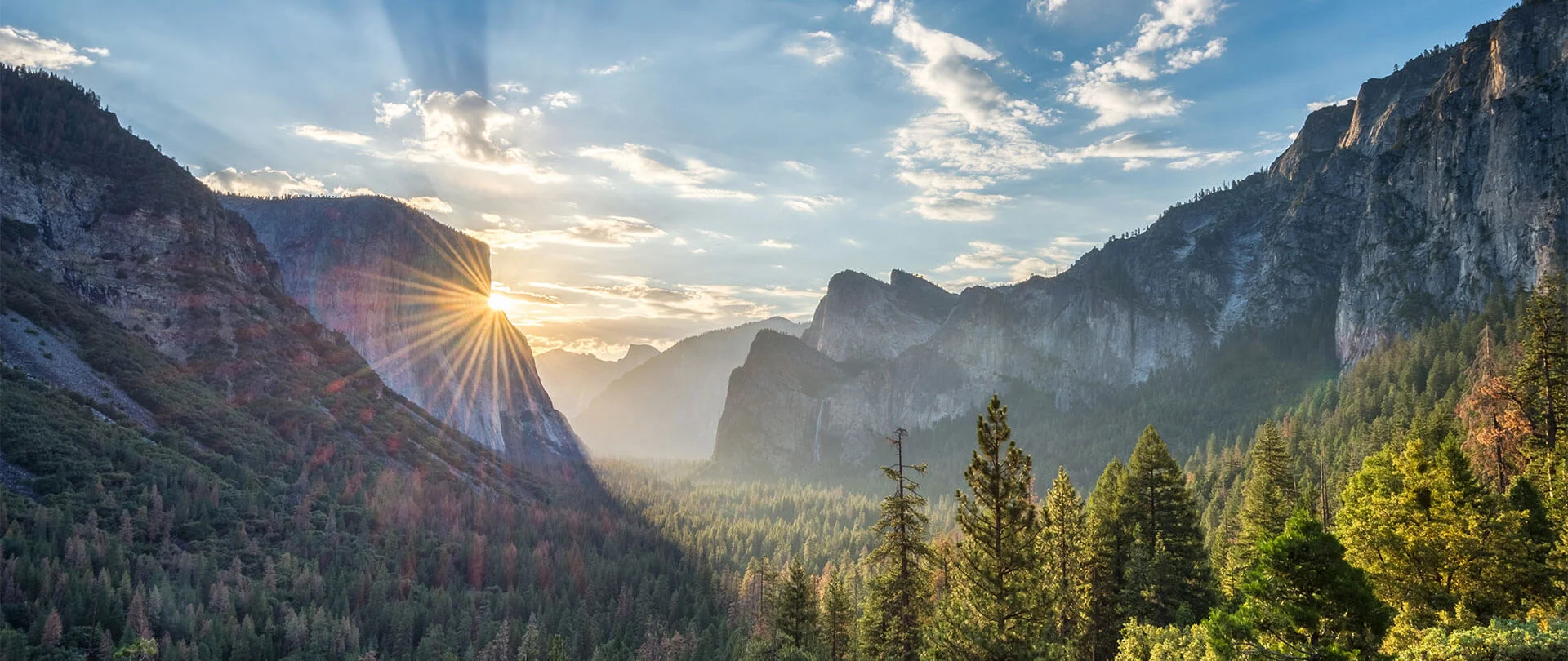
For the first timer and experienced traveler alike, there’s a lot to take in when visiting Yosemite Mariposa County, including endless miles within Yosemite National Park. Get your bearings and learn the best places to camp, eat, hike, fish and stay with the interactive Yosemite Mariposa County map below. Find detailed maps of specific regions below.
Explore the regions of
Mariposa County
When you travel to Yosemite Mariposa County, you’re free to roam thousands of square miles filled with photogenic and historic small towns, fishing, rafting, mountain biking and more.
Northern Yosemite
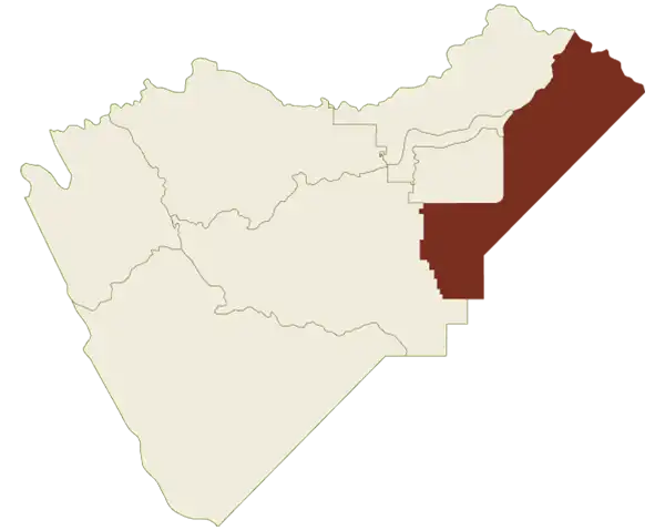
Best visited in spring and summer. Highway 120 winds toward Tioga Pass through the other-worldly beauty of Tuolumne Meadows. Enjoy easy access to Tuolumne River, Tenaya Lake and May Lake.
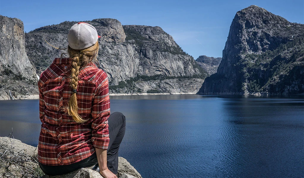
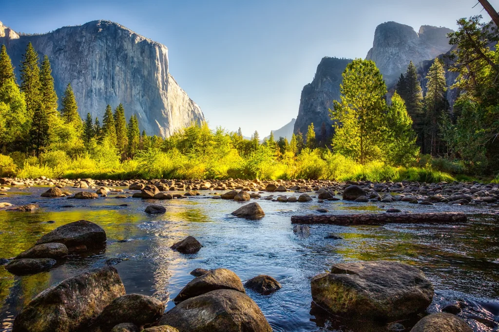
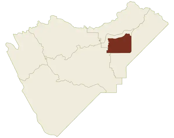
If you’ve heard of it, it’s likely here. Half Dome, El Capitan, Vernal Fall and, of course, Yosemite National Park all reside here. See iconic landmarks in this 2.25 square-mile area.
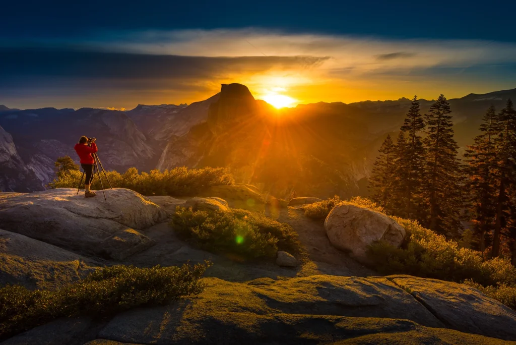
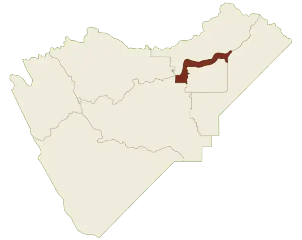
Views abound as this 16-mile stretch of road overlooks Yosemite Valley, Half Dome and other legendary sights. Snowshoe, hike and XC ski here. Note: road partially closes in November.
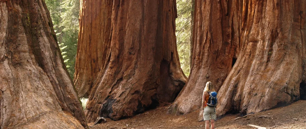
Home to the Mariposa Grove of Giant Sequoias, this southern gateway has a little bit of everything — nature, history, architectural landmarks, golf, waterfalls and museums. A great base camp.
Gold Rush history meets the Western Cowboy aesthetic in the small towns of Central Mariposa. Visit El Portal, Fish Camp, see some of California’s oldest buildings and top museums.
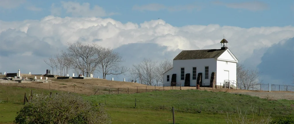
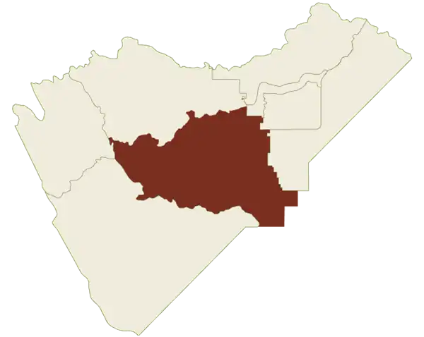
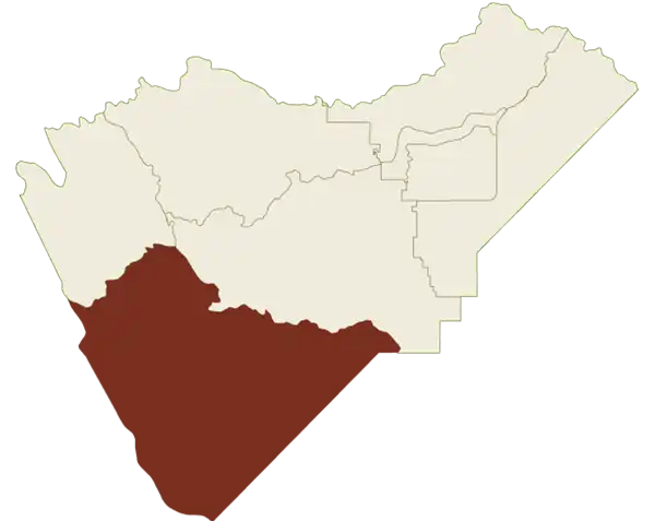
Rambling, rawboned and real. Here is where the Great Central Valley rolls up into the Sierra Nevada foothills. Get a peek of ranches and farms teeming with livestock in this historic region.
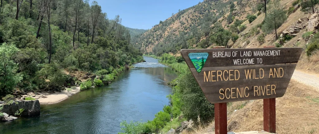
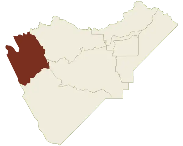
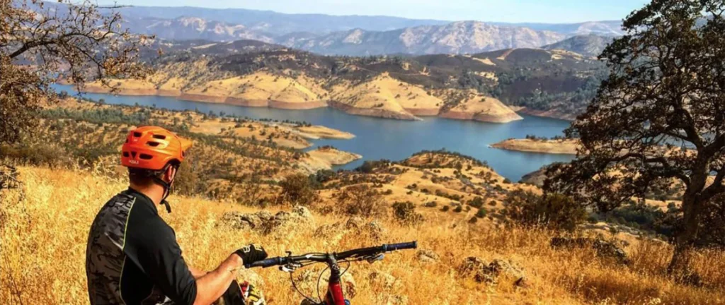
Highway 49 cuts through this craggy piece of canyon country. Ruddy outcroppings plunge into valleys, while lakes McClue and McSwain provide plenty of water recreation opportunities here. rnLink to the page on the new site: rn
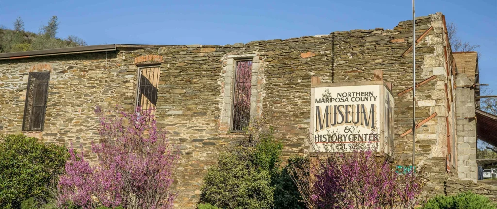
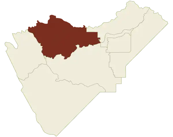
Pick up bohemian vibes in Coulterville and explore the Mariposa County History Center, then head over to historic Greely Hill, Buck Meadows and scenic Stanislaus National Forest.
Best visited in spring and summer. Highway 120 winds toward Tioga Pass through the other-worldly beauty of Tuolumne Meadows. Enjoy easy access to Tuolumne River, Tenaya Lake and May Lake.
If you’ve heard of it, it’s likely here. Half Dome, El Capitan, Vernal Fall and, of course, Yosemite National Park all reside here. See iconic landmarks in this 2.25 square-mile area.
Views abound as this 16-mile stretch of road overlooks Yosemite Valley, Half Dome and other legendary sights. Snowshoe, hike and XC ski here. Note: road partially closes in November.
Home to the Mariposa Grove of Giant Sequoias, this southern gateway has a little bit of everything — nature, history, architectural landmarks, golf, waterfalls and museums. A great base camp.
Gold Rush history meets the Western Cowboy aesthetic in the small towns of Central Mariposa. Visit El Portal, Fish Camp, see some of California’s oldest buildings and top museums.
Rambling, rawboned and real. Here is where the Great Central Valley rolls up into the Sierra Nevada foothills. Get a peek of ranches and farms teeming with livestock in this historic region.
Highway 49 cuts through this craggy piece of canyon country. Ruddy outcroppings plunge into valleys, while lakes McClue and McSwain provide plenty of water recreation opportunities here. rnLink to the page on the new site: rn
Pick up bohemian vibes in Coulterville and explore the Mariposa County History Center, then head over to historic Greely Hill, Buck Meadows and scenic Stanislaus National Forest.
Yosemite National Park Maps By Region and Trail Maps
In addition to our interactive map above, find detailed PDF maps of specific regions and trails for your outdoor adventure. Yosemite National Park encompasses 1,169 square miles of gorgeous and rugged terrain, so it’s crucial to know not only the best way to get here, but how to successfully find your way around once you’re in the park. Because GPS can be spotty within the confines of the park, we strongly recommend travelers obtain physical maps in addition to virtual ones.
 Northwest Mariposa CountyHighway 49 cuts through this craggy piece of canyon country. Ruddy outcroppings plunge into valleys, while lakes McClue and McSwain provide plenty of water recreation opportunities here. rnLink to the page on the new site: rnFeatured Activites