

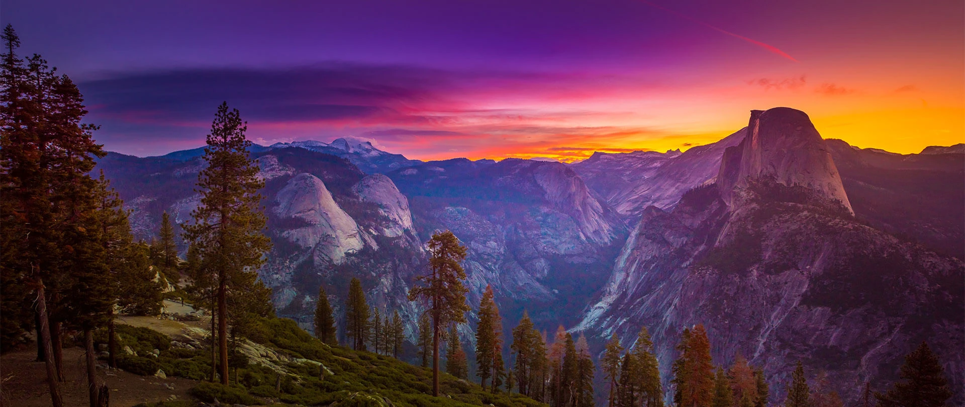


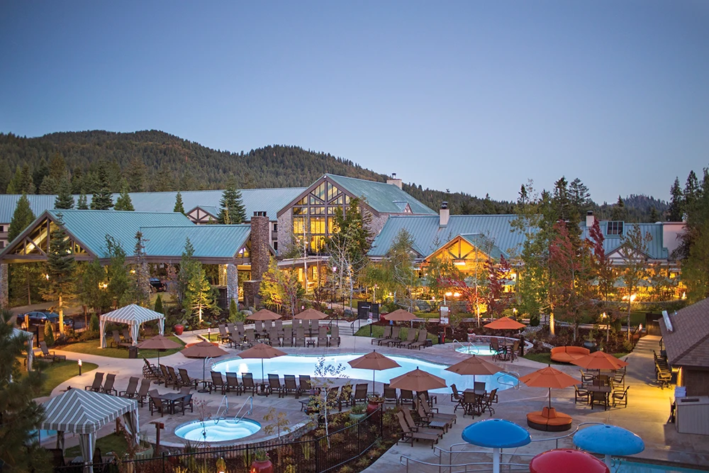
Southern Mariposa County is a rambling, rawboned realm bisected by Highway 140 and topped off by Highway 49. This is where the Great Central Valley begins to roll up to the foothills in undulating waves as farming gives way to ranching and the first glints of the Sierra Nevada range come into view over the eastern horizon. Roll down your windows, take a deep breath of wildflower-carpeted foothills in spring, and with a little luck spot a flock of sheep, herd of angus cattle or herds of working horses grazing off the road.
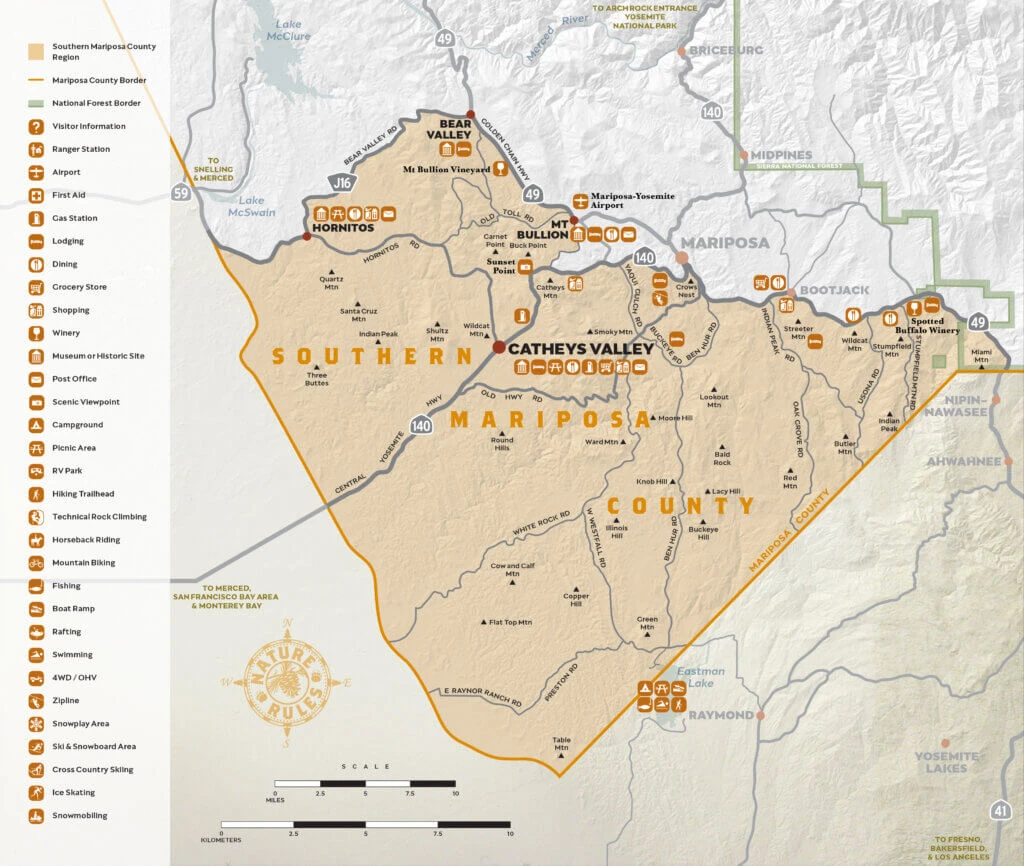
Highways
- Highway 49
- Highway 140
Hubs
- Catheys Valley
- Hornitos
- Bear Valley
See & Do
Catheys Valley (elevation 1,325-feet) is a big bowl of agricultural greatness with some of the richest grazing ranch land in the American West. Among Mariposa County’s historical markers, Catheys Valley is “best in show”, with multiple panels and a wealth of information displayed roadside. In earlier times the Miwuk Indians wintered here in this big, blue-sky valley.
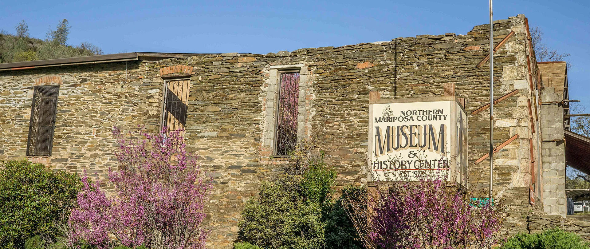
A rough-and-tumble Gold Rush town, Hornitos in the 1870’s reached a population of almost 15,000 and had the first Wells Fargo stagecoach office in the county. The still-standing Plaza Bar, Hornitos Masonic Hall and St. Catherine Catholic Church make this town a worthy detour for historic architecture buffs. Legend has it that bandit hero Joaquin Murrieta built a tunnel from a local dance hall to his private horse stable to evade lawmen.
About 11 miles northwest of Mariposa, Bear Valley is the original site of Colonel John C. Fremont’s empire. Fremont arrived here after the conclusion of the Bear Flag Revolt, bought a 44,000-acre parcel of the Mexican land grant, Rancho Las Mariposas, and renamed it Bear Valley. Look for the Bear Valley Historical Marker on Highway 49 and the original buildings from the mining days including the BonTon Saloon, Trabucco Store and Odd Fellows Hall.
