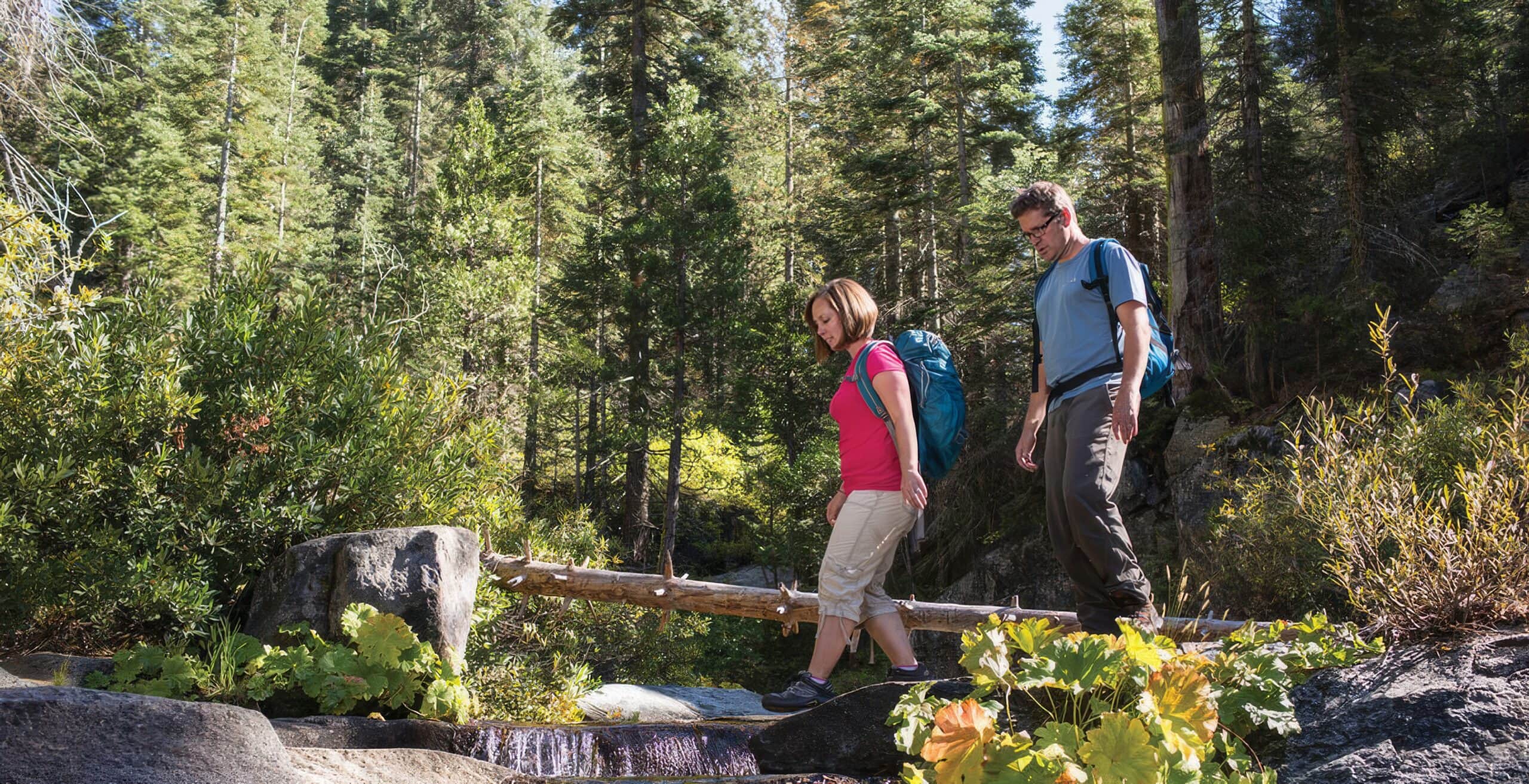
The incredible hikes of Yosemite Mariposa County have become a magnet for trail junkies from all over the world. And with that great beauty comes great…crowds. But there’s an alternative for those adventurous souls who want to get away from it all — hiking outside of Yosemite in wide-open Mariposa County.
From sunset saunters to heart-healthy climbs, Mariposa County will satisfy trekkers of all ages and abilities with its wildflowers, wineries, and, yes, waterfalls. Here’s a 4-day escape that explores some of the best hikes near Yosemite.
Short & Sweet Hikes
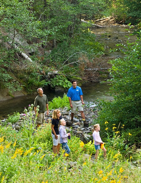
Day One is all about setting yourself free from the confines of whatever steel crate you’ve been cooped up in. And what better way to liberate body & soul than a quick, leg-stretching amble that fills your lungs with fresh Sierra air? These day hikes are ideal for any kid friendly Yosemite Mariposa County itinerary.
Tenaya Loop
Fish Camp, CA
Distance: 1.3-mile loop
Elevation Gain: 246 feet
Difficulty: Easy
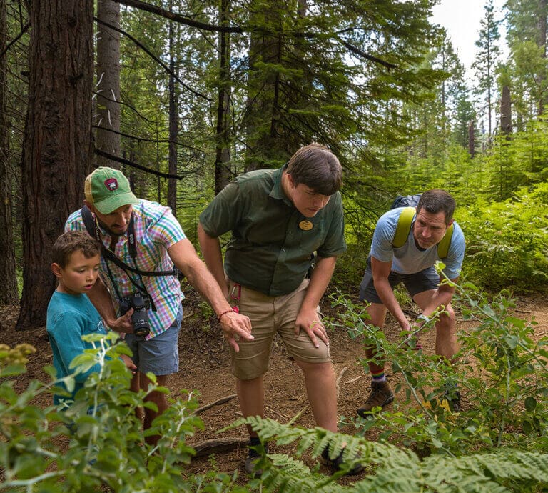
Adjacent to the Tenaya Lodge, the Tenaya Loop is the perfect “get-acclimated” hike. It’s perfect for visitors heading to historic Fish Camp, and those who want to explore the Sierra National Forest on Yosemite’s southern flank.
This peaceful stroll features seasonal wildflowers and the soothing babble of nearby Big Creek, tempting if you feel like flicking a line. Perfect for all ages and abilities, Tenaya Loop is dog-friendly (on leash) and has some benches along the way in case you want to stop and smell the lupine. For an easy arrival-day lunch/dinner, try one of the Tenaya Lodge’s restaurants to help get your trip off on the right stomach as well as the right foot.
Morningstar Lane
Mariposa, CA
Distance: 2.6 miles out & back (can shorten/lengthen)
Elevation Gain: 150 feet
Difficulty: Easy
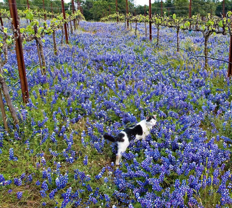
Now that you’ve put down your bags and explored the historic main drag of old town Mariposa, it’s time for a sunset amble. Morningstar Lane is the perfect late day excursion along a quiet country road. Winding through oak woodlands at an elevation of 3,000 feet, this flat, paved walk is suitable for strollers and seniors alike as it passes Silver Fox Vineyards with its Yosemite-inspired wines (tastings by appointment). Be prepared to share the terroir with deer, horses and the occasional strutting peacock.
Accessible from both Highway 140 and Highway 49, park at the intersection of Carleton Road and Morningstar Lane and head west with your turnaround being Allred Road (1.3 miles). If you stick to the main trail, the hike will be 2.6 miles round-trip, but there are side roads to explore which can bump your distance. Blackberry Creek, Buckskin, Sunrise, and Twin Oaks Road all spur off your main route. When parking, be sure not to block driveways and of course say hi to the locals!
Shake It Out: Hikes Near Yosemite
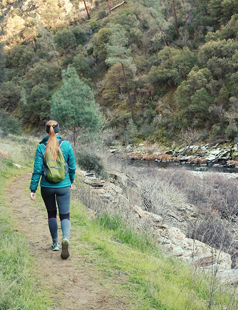
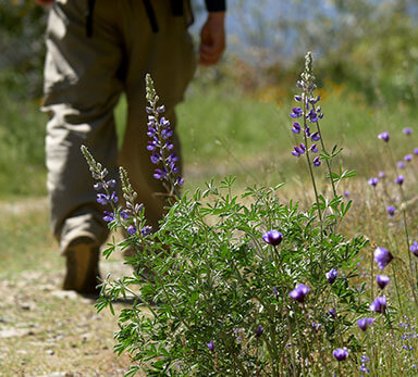
Day Two of hiking outside of Yosemite is all about lacing up, packing your trail snacks, and immersing yourself into the natural beauty of Mariposa County with some moderately difficult hikes featuring modest elevation gains. These treks can get toasty in summer so early starts are a good idea. Not a problem…that leaves the rest of the day for exploring other amazing things to do!
Stockton Creek Preserve
Mariposa, CA
Distance: About 4 miles (can be customized)
Elevation Gain: 501 feet
Difficulty: Moderate
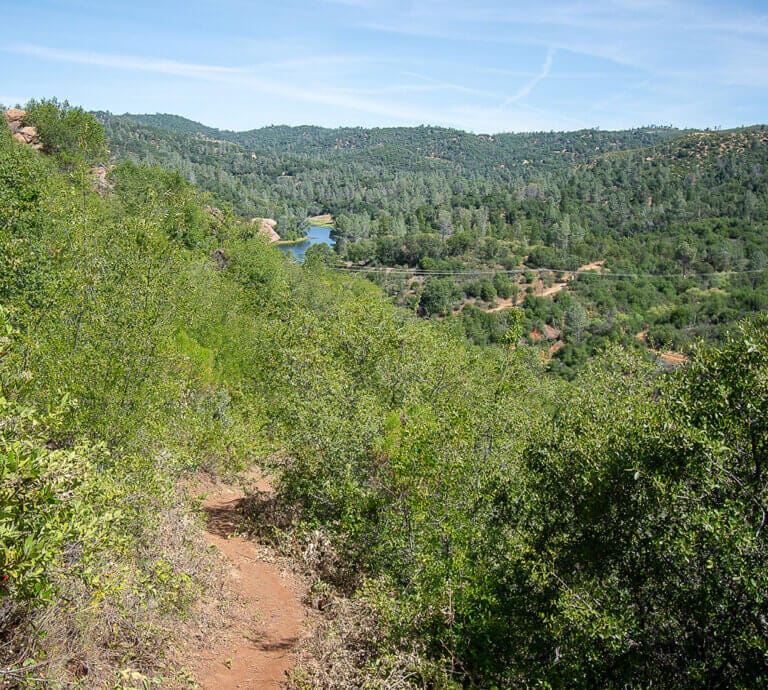
Dog-friendly Stockton Creek Preserve features several different trails near Yosemite that wind through a classic California oak and chaparral setting surrounding the Stockton Creek Reservoir. The configuration allows for connecting routes to create satisfying loops while customizing your distance or entering/exiting different trailheads if you feel like shuttling for a shorter hike.
The Canyon Creek Trail (1.1 miles) follows Stockton Creek at 2,000 feet, the Lower Trail (1.8 miles) is just a little higher on the other side of the Creek, while the Upper Trail (1.6 miles) traverses the ridge at 2,500 feet and offers expansive vistas overlooking the water and surrounding hills. The Flume Trail (1 mile) is the shortest as it skirts Highway 140 as it rises up to Yosemite.
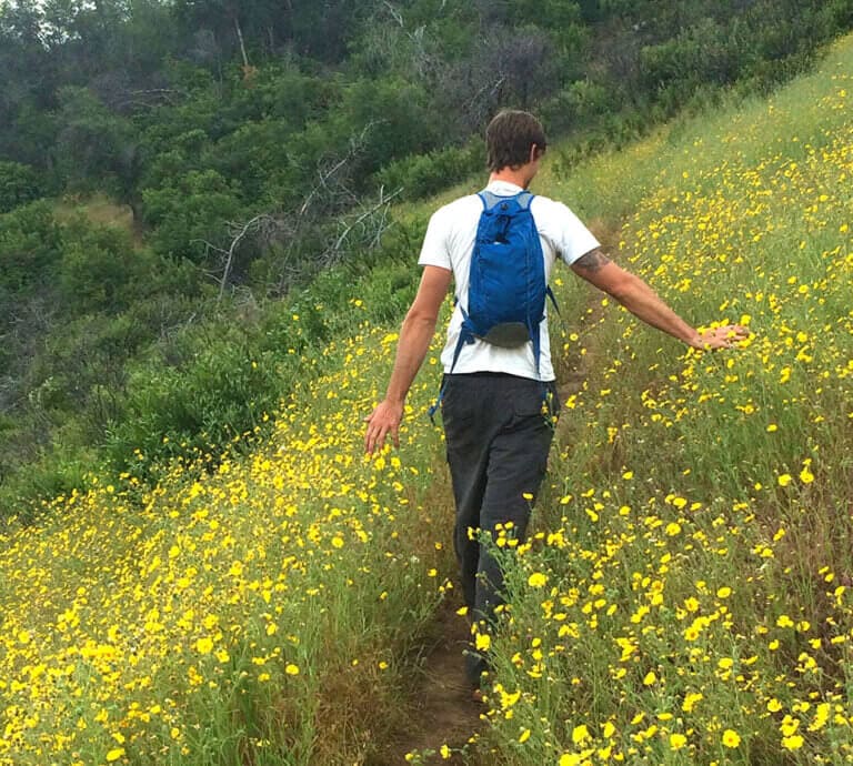
At 410-acres, Stockton Creek Preserve is a magnet for many bird species, the Ruby-crowned Kinglet, Northern Flicker, and Hooded Merganser among them. In addition to the bird show, keep your eyes open for reptiles and amphibians like the Western Pond Turtle (the West Coast’s only native freshwater turtle). After your hike, explore the charming Gold Rush town of Mariposa for food, museums, and the oldest (1854) Superior County Courthouse still in use west of the Rockies
Briceburg, CA
Distance: 5.5 miles out & back
Elevation Gain: 482 feet
Difficulty: Moderate
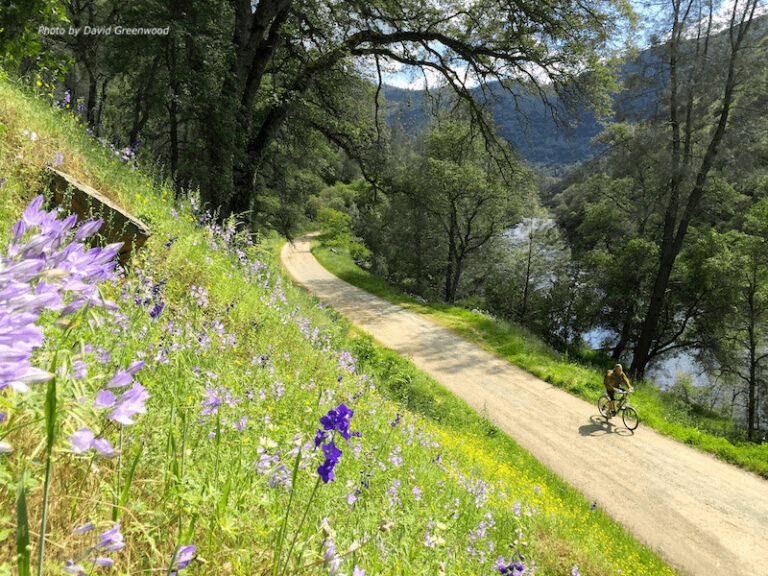
Starting near the BLM-operated Railroad Flat Campground at the end of Briceburg Road (Bull Creek Road), the historic Merced River Trail follows the old Yosemite Valley Railroad line along the Wild & Scenic Merced River at an elevation of 1,000 feet. The hike features early spring wildflowers, swimming (scramble down for a refreshing dip), and the ever-present serenade of flowing water. At the trail’s end, there’s a narrow spur that climbs to a seasonal waterfall, worth the effort if still running. The Merced River Trail is dog-friendly (on leash) and great for kids, just remember to bring a hat and plenty of water as there is little cover. A refreshing summer option for cooling off after your hike is the beach at nearby McCabe Flat Campground. Pair a river floatie with a cold beverage and you’re golden!
Blow Out The Pipes
Today we’re upping the ante with more miles and compelling climbs. Think of these as Gold Rush history meets gym-worthy workout, all set in the beautifully rugged foothills of the Sierra Nevada mountains
Burma Grade Road
Briceburg, CA
Distance: 9 miles out & back
Difficulty: Strenuous
Elevation Range: 1,600 feet
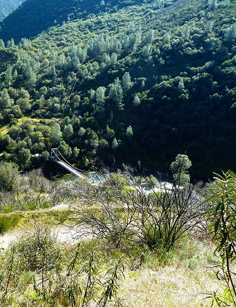
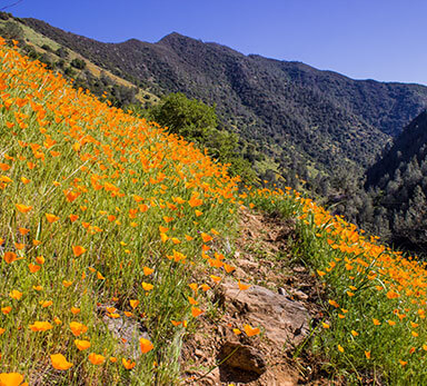
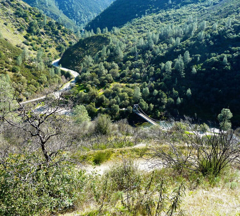
Starting 15 miles from the town of Mariposa where Highway 140 meets the Merced River, this grinder crosses the 160-foot suspension bridge at the Briceburg Visitor Center and begins to climb steeply via a series of long switchbacks. The narrow and often rutted dirt road is shared by mountain bikes and the occasional 4WD vehicle but is lightly used and features stunning views of the Merced River Canyon and surrounding knobby peaks, not to mention a rainbow of Sierra wildflowers early in the spring. The turnaround for this hike is a green metal gate at the 4.5 mile mark, though there is plenty more to explore if you have the energy. Then it’s time to head back downhill where another round of killer panoramas spread before you. Bring plenty of water and avoid bushwhacking here as rattlesnakes call this terrain home. Pets okay (on leash) but ditto about staying on the trail.
Fire Fact: the 2008 Telegraph Fire swept through this area, but now “fire follower” wildflowers and Knobcone Pines have re-sprouted as Mother Earth heals herself.
Hite Cove
El Portal, CA
Distance: 9 miles out & back.
Elevation Gain: 600 feet
Difficulty: Moderate
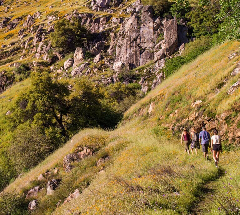
The Hite Cove Trail begins at the Savage Trading Post along Highway 140 in El Portal and edges a steep canyon while passing through nearly 50 varieties of wildflowers for the first two miles, then follows the South Fork of the Merced River on to Hite Cove. Historically significant to both native peoples and European-Americans, the Hite Cove area was used for thousands of years by the Ahwahneechee people in winter and spring to avoid the harsh high-elevation snow, before returning to Yosemite Valley in summer. Much later, John Hite settled here in 1862 where he operated a successful gold mine for the next 17 years. The mine produced a total value of 3 million in today’s dollars, and there was a Chinatown at the south end of Hite’s Cove in the mid-1860’s with 45 residents holding various jobs from mill workers to cooks and blacksmiths. The Hite Cove Trail closes during periods of “High Fire Danger” and doesn’t provide much cover so bring a hat and plenty of water. Primitive camping is allowed at Hite Cove per Sierra National Forest regulations.
Fire Fact: In 2018 when the Ferguson Fire passed through the Hite Cove region, it not only primed the area for an exceptional spring wildflower display the following year, it also revealed historic roadbeds and rock walls that were previously hidden.
Ease On Down The Road (a.k.a. Waterfall Exit)
Day Four of hiking outside of Yosemite, and parting is such sweet sorrow. Bags are packed and the responsibilities of home are starting to creep in, but that doesn’t mean there isn’t time for one last foray into the picturesque wilds of Mariposa County. And what better way to say goodbye than an easy jaunt to a waterfall?
Diana Falls & Swimming Hole
Coulterville – Greeley Hill, CA
Distance: 1.4 miles out & back
Elevation Gain: 85 feet
Difficulty: Easy
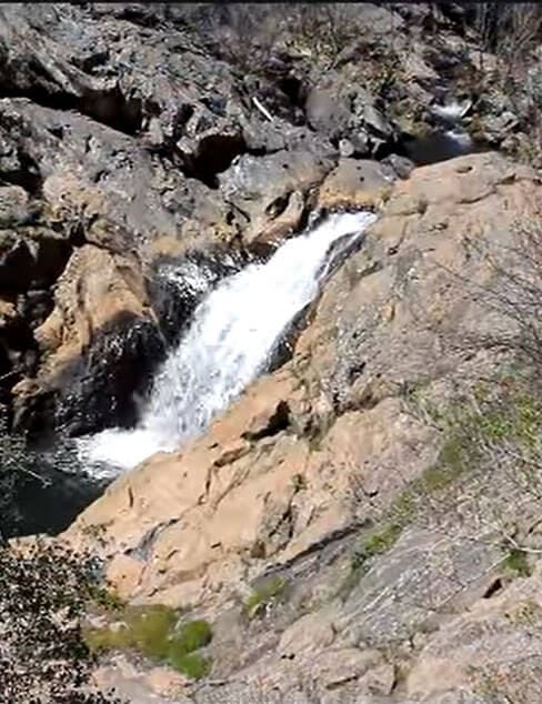
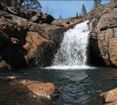
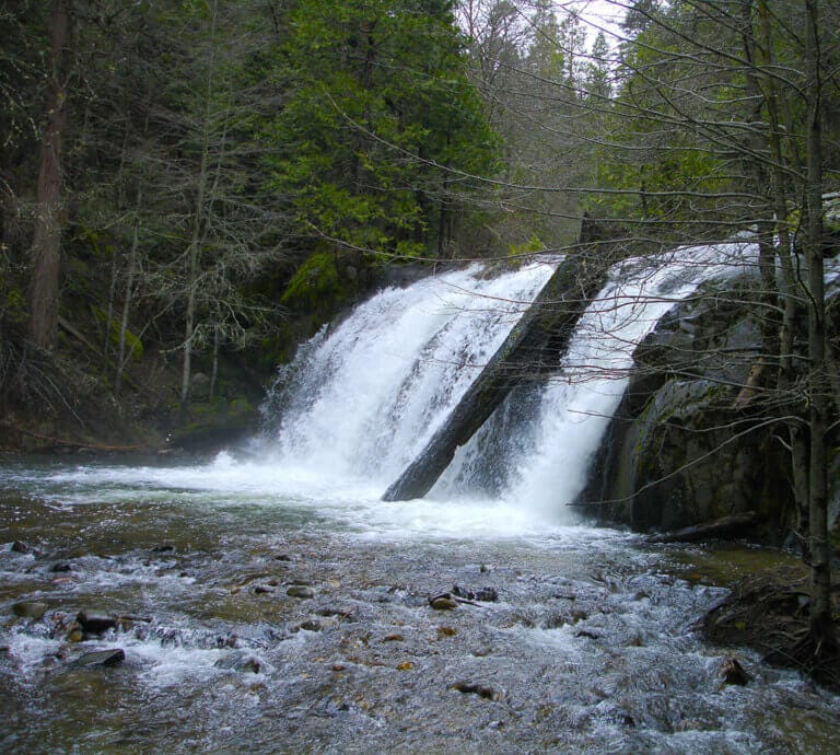
Diana Falls & Swimming Hole is situated along Bean Creek at an elevation of 2,300 feet. This relaxing jaunt leads to a modest 20-foot waterfall and one of those old-fashioned swimming holes where IG memories are made. The flat, dog-friendly trail passes through both wooded and open stretches, perfect for kids who want to take a dip in one of several pools along the way.
Diana Falls is best in spring and early summer when flow is highest, and will typically dry up by late summer but is pretty nonetheless. Be sure to wear sticky-soled shoes for scrambling on the rocks, and on the way home stop in Coulterville where the entire town has been designated a historical district for its Gold Rush charm. For local eats, try the Coulter Cafe which serves up some mean grub (not to mention live music). True Tidbit: near Diana Falls is Bower Cave, a limestone grotto the native Miwuk people called “Home of the Evening Star” and where stagecoach visitors back in the day held dances on Saturday nights.
Lewis Creek Trail
Oakhurst – Fish Camp, CA
Distance: 3.9 miles out & back
Elevation Gain: 531 feet
Difficulty: Easy
With its shady tree cover and fern grotto feel, the Lewis Creek Trail transports hikers to a mythical paradise. Located near Fish Camp, this getaway trek is a two-for-one special when it comes to waterfalls and perfect for visitors heading home south from Yosemite towards L.A. A few hundred feet from the turnout on Highway 41, the trail forks right (downstream) and drops .5 miles to Corlieu Falls. Going left (upstream) at the fork, the trail follows Lewis Creek where the remnants of a lumber flume can be seen. After arriving at Red Rock Falls, hikers will experience a wider, more powerful cascade of 20 feet. This outing is great for kids and dogs, but bring bug repellent and expect plenty of trail company on weekends as this is one of the best hikes near Yosemite, so it is popular.
Mariposa Hiking Hints
Here are a few Mariposa hiking hints on what you should bring and valuable resources to make your Mariposa County hiking trip a success.
- Plenty of water (avoid single-use water bottles, if possible)
- Lunch/trail snacks (try shopping local for picnic supplies!)
- A map (some hikes have no cell service so print/download, if possible)
- Mosquito repellent
- Comfortable, closed-toe shoes/boots
- Clothing layers/waterproof shell
- A hat
- Eco-friendly sun block
- Towel for hikes with swims
- Camera
- Leash and collapsible dog bowl (have fun with your pets while knowing the rules! There are some dog friendly trails in Yosemite National Park, but you have many more options just beyond the park boundary.)
After your hike, there are a wide variety of post-hike libations & bites for you to enjoy. You can also extend your stay by booking a room at one of our nearby lodging options.

