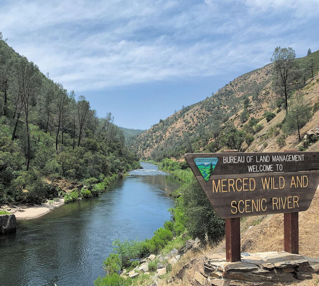
Welcome to the Merced River Country. The beautiful Merced River along Highway 140, is a popular scenic area. The main (north) fork of the Merced River flows through steep river canyons in the Sierra National Forest and Yosemite National Park. The South Fork flows from high in the Sierras, through Wawona, down to Hite Cove. Being designated as a Wild and Scenic River affords the river extra protections and ensures it stays scenic and beautiful. There is some much to see in Hite Cove and Merced River County.
Note to motorists: Temporary bridges around the Ferguson rock slide on Highway 140 limit vehicle length to 28 feet and cell phone coverage is non-existent in the area.

Hite Cove History The Ahwahneechees were the first inhabitants of Hite Cove area for more than a thousand years, using the area in winter and spring, and returning to their ancestral land in Yosemite Valley. In the 1850s, the Mariposa Battalion was the first European Americans. John Hite settled in 1862 and owned and operated a gold mine for 17 years. By 1874, the facility had increased from a crude circular stone arrastra pulled by mules to a 20 unit stamp mill to break the rock to extract the gold. Historical dollar production of gold removed was valued at $3,000,000.00
Remember that historic and prehistoric artifacts are not to be disturbed or removed and are protected by law. Violators will be prosecuted.

Merced River Main Fork The main fork of the Merced River offers day use and picnicking along Highway 140 and Briceburg, with overnight camping or fires only at designated campsites. Limited access and seasonal high fire danger limits overnight camping to the designated sites only. The Wild and Scenic River status adds a few extra conditions to fishing—for all species, only fish over 12 inches or larger may be taken and only on artificial lures with barbless hooks. The practice of catch and release is recommended at all times so our future young generations may continue to enjoy this stretch of the river. Please check the most current fishing regulations at www.dfg.ca.gov. White water rafting from Redbud to Bagby is permitted and managed by the Bureau of Land Management (BLM), www.blm.gov.
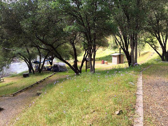
Overnight Camping Dirt Flat, Dry Gulch, McCabe Flat, Willow Placer, and Railroad Flat are located on the north side of the main fork and you can check the location of these campsites on the Interactive Map.

Day Use campsites for picnicking can be found at Indian Flat and Redbud. These sites have toilets, tables, barbecue grills as well as paved roadways, and are located right next to the beautiful river.
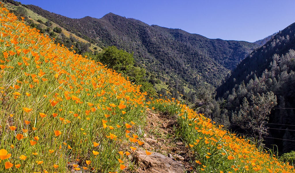
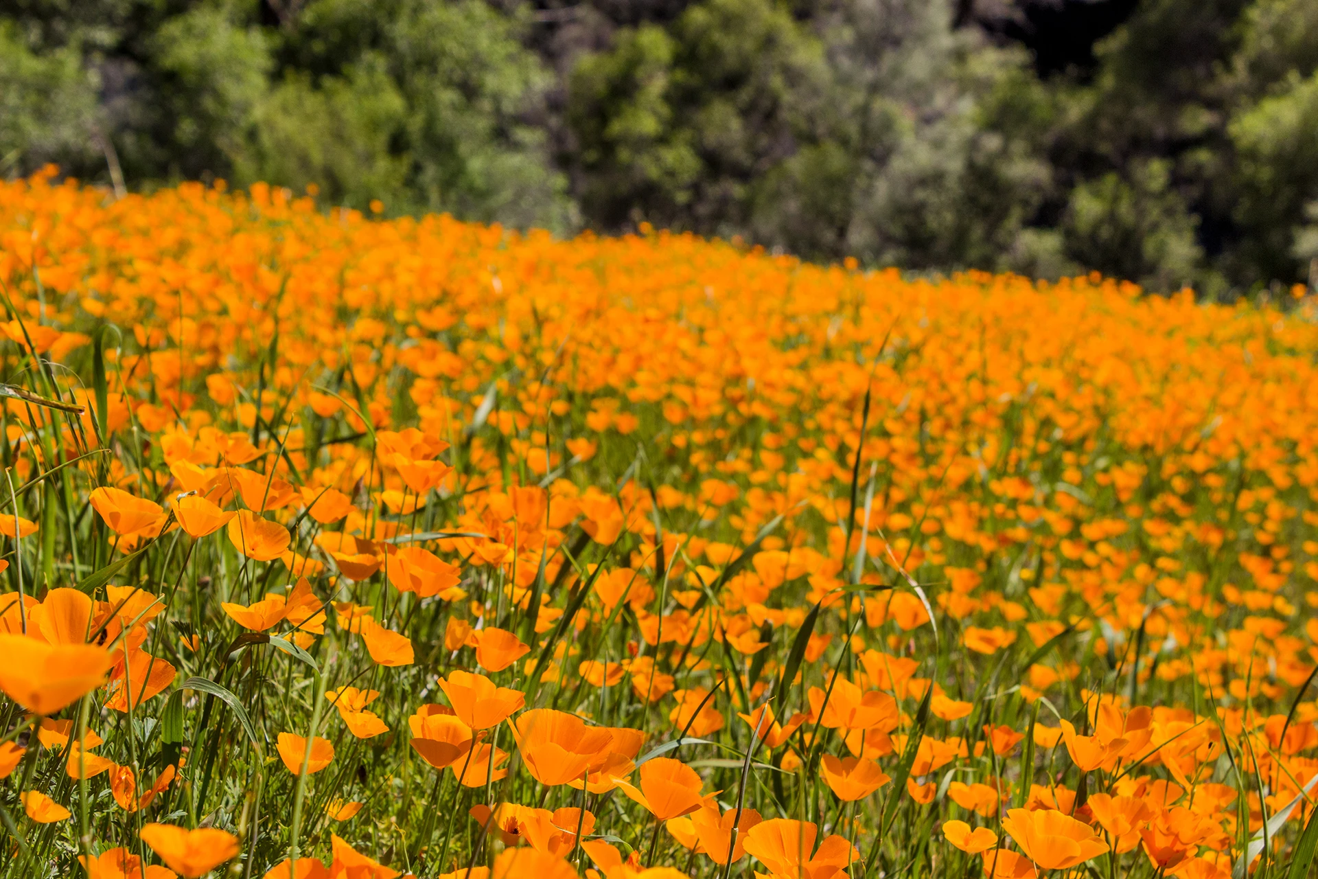
Hite Cove Trail hiking offers spectacular early morning spring wildflower displays. The first 3/4 mile of the trail is private land, This moderate hike is 7.2 miles and ends at the remains of the old Hite Mine. Camping is allowed at Hite Cove, but campfire permits are required.
The Incline Road Trail follows 28 miles of the historic Yosemite Valley Railroad right-of-way on the north bank of the Merced River. Fallen railroad bridges may limit access when side streams are full and swift.
South Fork of Merced River is accessed from the Jerseydale Area where campers enjoy solitude and stage for equestrian, hiking and four-wheel drive activities. Twelve miles from Mariposa is the Jerseydale campground across from the Jerseydale Fire Station.
Savage/Lundy Trail is a 3-mile long trail and is the most difficult trail in the area. The other trailhead is at the end of Jerseydale Road. Dispersed camping is allowed but campfire permits are required.

