
Eagle Peak
Eagle Peak
Yosemite Valley
Eagle Peak, Mariposa County, CA, United States
Overview
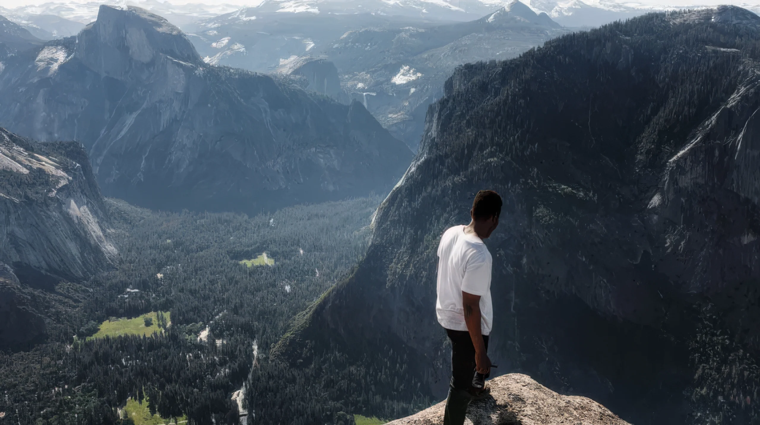
Eagle Peak is the highest of the Three Brothers, a rock formation, above Yosemite Valley in California. This independent peak is located just east of El Capitan. John Muir considered the view from the summit to be “most comprehensive of all the views” available from the north wall.
Eagle Peak can be reached by following the Upper Yosemite Falls and Eagle Peak trails. The hike is 6.0 miles (9.7 km) one way with a climb of over 3,500 feet (1,100 m). The trailhead is at Camp 4 near Yosemite Village. It passes near Yosemite Falls and affords many views of the valley.
The peak can also be reached from the Tamarack Flat Campground located off the Tioga Pass Road. The hike, which follows the El Capitan trail most of the way, is 7.7 miles (12.4 km) but the trailhead is at about 6,400 feet (2,000 m). Another route starts at Yosemite Creek Campground at an elevation of 7,200 feet (2,200 m). This trailhead is at the end of a very rough, single lane, 4-mile (6.4 km) road.
Reaching Eagle Peak during winter is not advised unless you possess an advanced ability to navigate in snow without the aid of trail markers.
Spring, summer and fall approaches are most preferred. When traveling in summer it is advised to bring plenty of water, water filter system and food for the journey. Many sections of the trail are exposed and dehydration is common for those that do not plan accordingly.
Average round trip trail time is 8.5hrs, it is also highly advised to depart early morning so you have adequate time to return before dark and a headlamp is also highly recommended to bring, just in case you get caught in the dark on return.
You can download a free Yosemite National Park trailhead map here
For individual Yosemite National Park topographic maps by sector click here