Gaylor Lakes
Overview
Distance: 2 miles (3.2 km) round-trip
Elevation gain: 500 ft (152 m)
Difficulty: Moderate
Time: 2 hours
Begin at: Tioga Pass Entrance
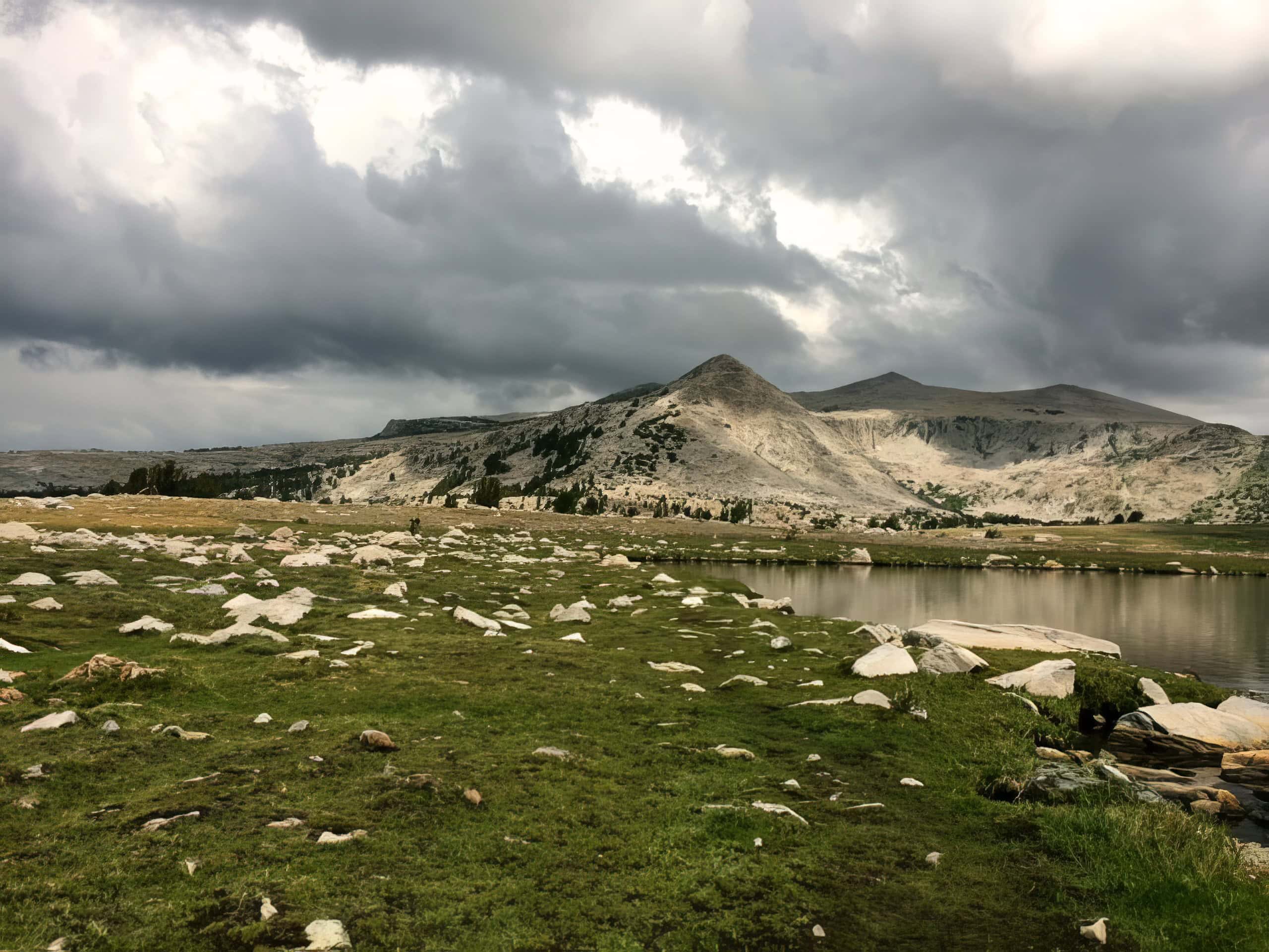
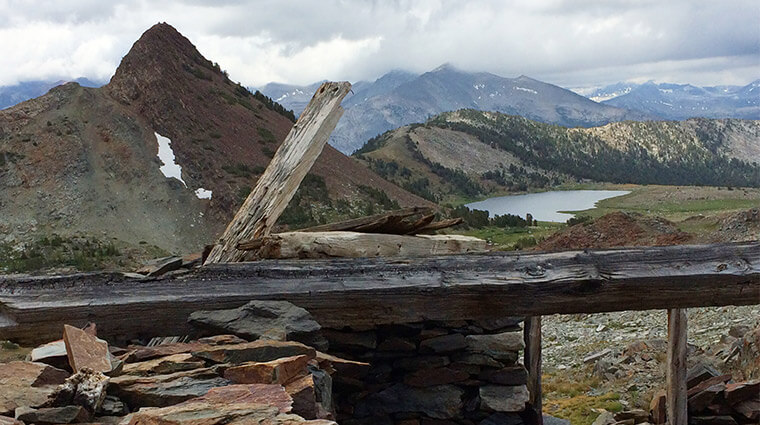
The trailhead for this easy, very scenic hike starts at the eastern entrance of Yosemite National Park. The parking lot is easily seen on the left hand side coming from Tuolumne Meadows, just before the Eastern entrance station.
This hike offers some of the most spectacular high-country views off of Tioga Road. From the trailhead, climb steadily to a ridge with views of the High Sierra including Mt. Dana and Dana Meadows with its scattered ponds. At the ridge crest, the trail drops 200 feet to Middle Gaylor Lake. Return via the same route.
For a complete Yosemite National Park trailhead map click here


