Something for Everyone
Narrow Down Your Choices
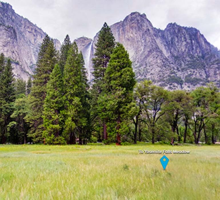
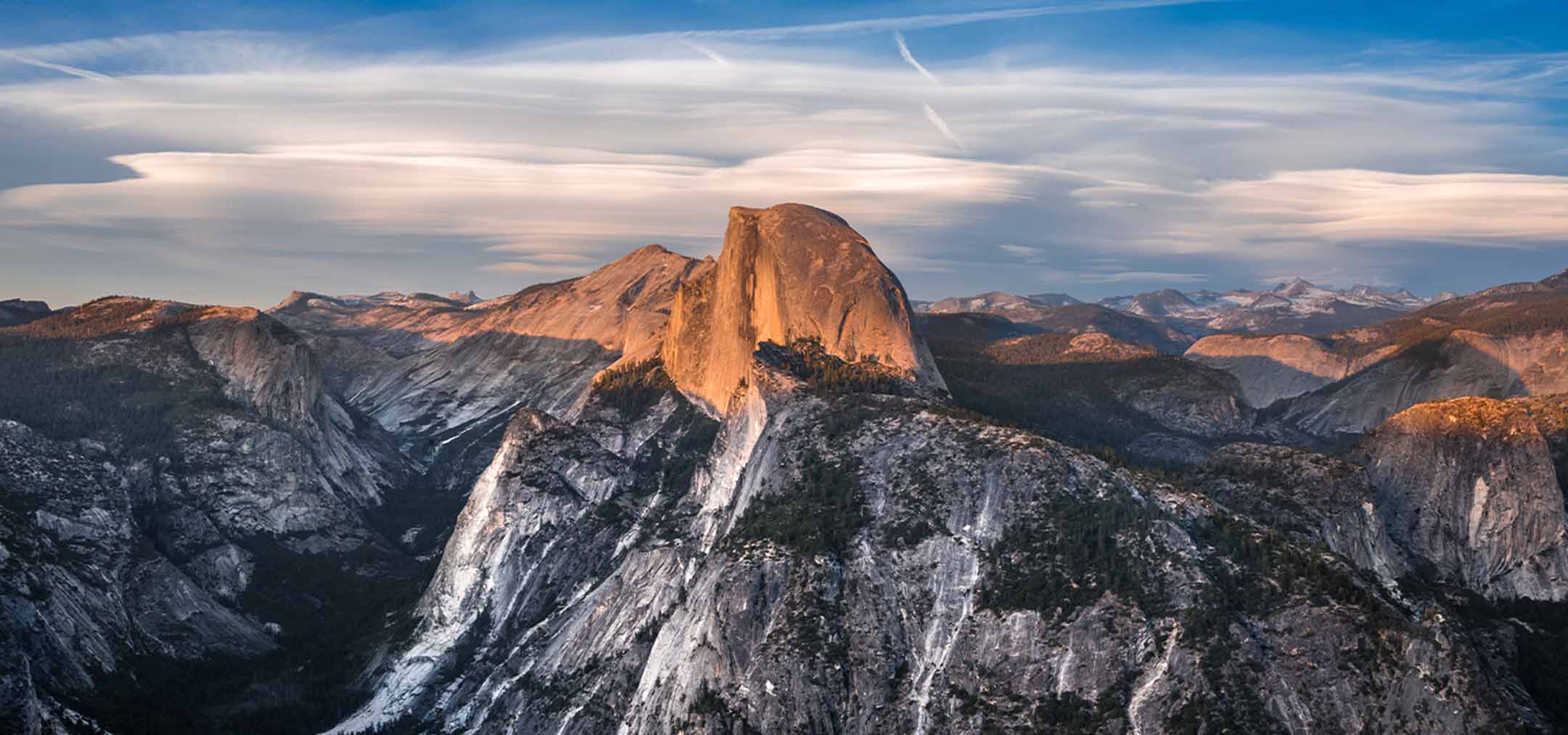
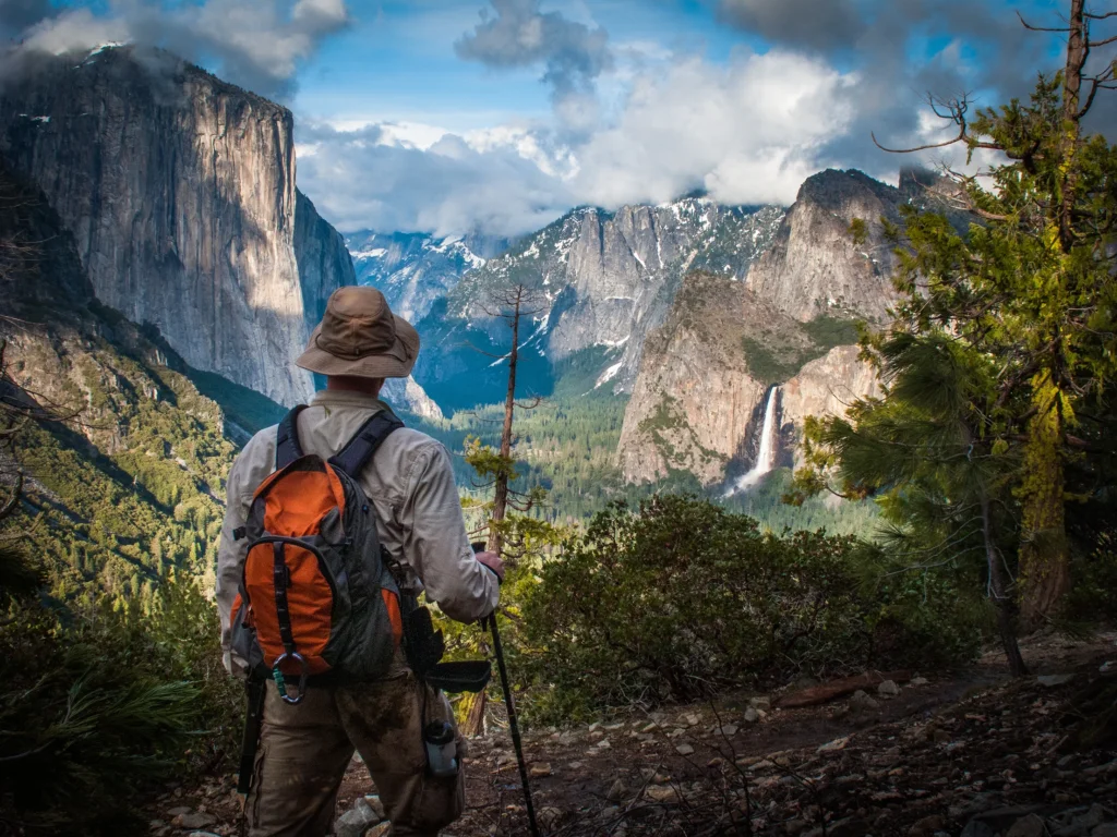
Waterfalls. Mountaintop vistas that seem to stretch on forever. Hiking, swimming, history, museums. Oh, and we haven’t even mentioned the legendary landmarks such as Half Dome or the Mariposa Grove of Giant Sequoias.
This is just a sampling of the inspirational things you’ll find when you visit Yosemite Mariposa County. Here, you’ll find everything you need to get inspired for your next trip, including custom itineraries, what to see and a lay of the geography for first-time visitors.
Visiting Yosemite for two days?
A week?
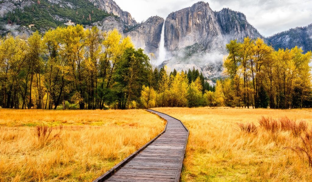
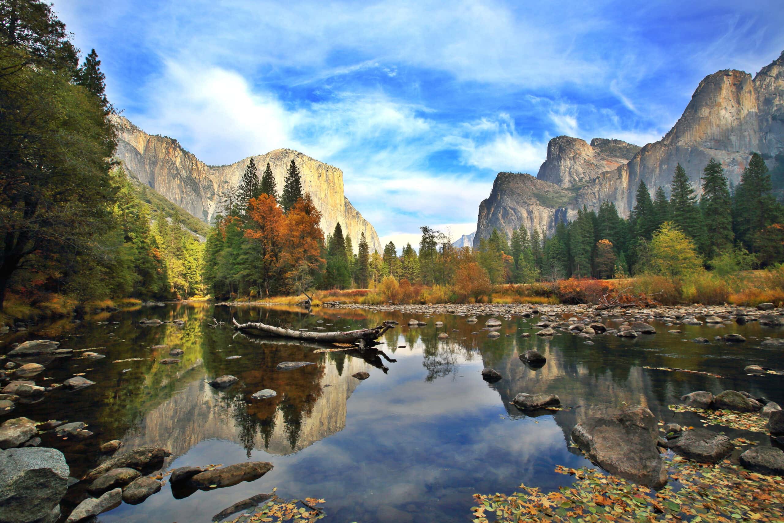
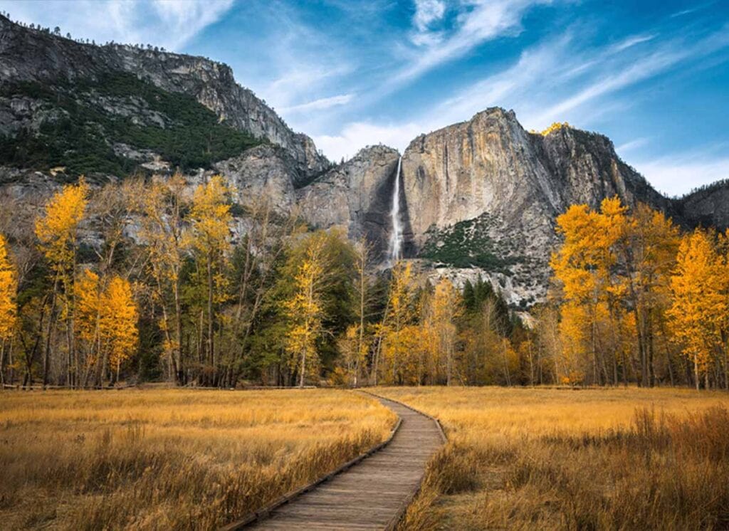
However long you’re calling Mariposa County home, we have an itinerary you’ll fall in love with. Explore the trails and taprooms of our region with one trip, experience five days of outdoor adventure with another. Or, visit us during fall and take in the most gorgeous scenery nature affords. Whether you’re traveling solo or with the whole family crew, we have a trip for you.
So Much Variety, Such Little Time
What to See in Yosemite
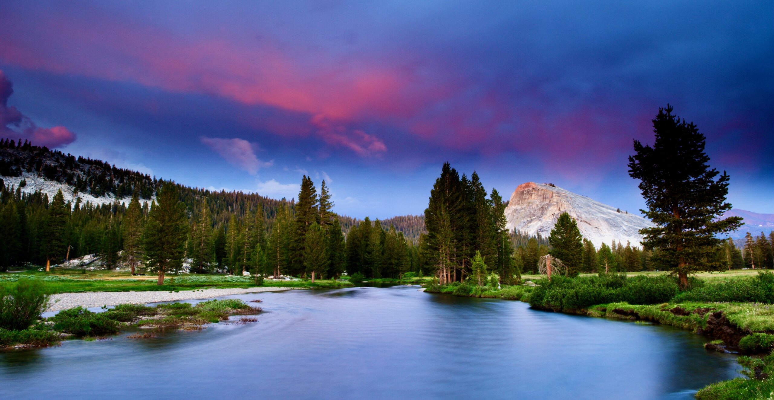
So, you’re wondering what to see in Yosemite? Glad you asked. From the stunning beauty of Tuolumne Meadows and the Tuolumne River to the majesty of Bridalveil Fall, Vernal Fall and Nevada Fall, the list of things to see in Yosemite is long, impressive and likely to keep you coming back time and again.
Other landmarks such as Lembert Dome provide satisfying hikes and photography excursions while getting the heart pumping. Would-be adventurers and nature lovers alike will find their new favorite vacation destination after a short time in Yosemite Mariposa County.
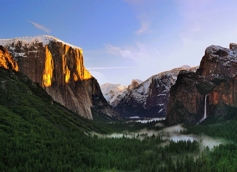
When planning a trip to Yosemite, it’s important to think outside of the park. While many of the world’s most impressive natural wonders are found within its confines, there’s much more to explore within greater Mariposa County. The High Sierra, for instance, offers a vast alpine meadow and incredible views. The High Country is also a must-see region, home to iconic landmarks like the Cathedral Peak. Explore all the regions of Yosemite Mariposa County by visiting the Yosemite Mariposa County Regions page. The regions outside Yosemite are steeped in history and not to be missed. Visit photogenic historic small towns (and tasty restaurants), as well as the open spaces between that feature fishing, rafting, mountain biking and much more.
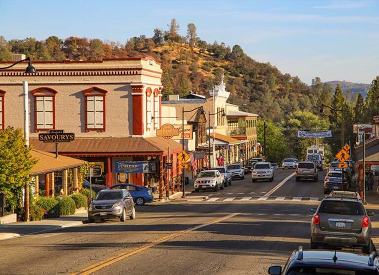
Thinking of staying in Yosemite? Consider the broader region beyond it. With Yosemite National Park in its northeastern corner, Mariposa County is also home to much more natural beauty worth exploring. From the rolling hills of Catheys Valley and the scenic roadways of Hornitos in the western part of the county to the timeless wonder of Wawona and Fish Camp south of the park, there’s more Western and Native American history, ghost town exploration, hiking, swimming and fishing to be seen than anyone can cover in a single trip.
Spring Things To Do
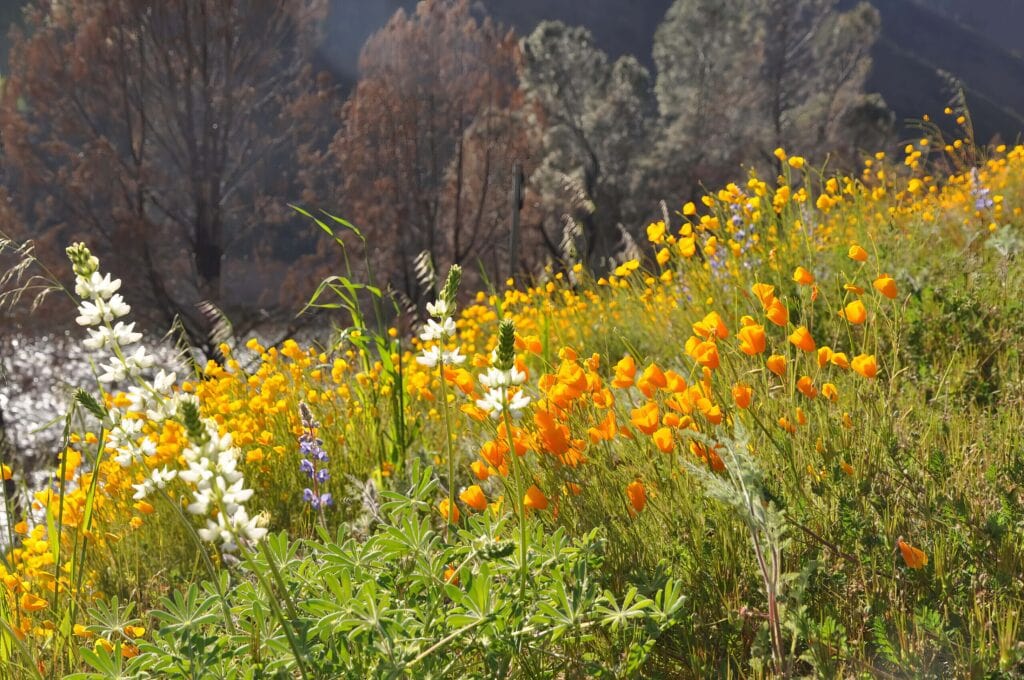
Psst. We’ll let you in on a little secret. Spring is low-key one of the best times to visit Yosemite Mariposa County. In this shoulder season, there’s still snow on the Sierra, but the valley begins to come alive with wildflowers and the waterfalls are a sight to behold, gushing forth their exuberance for the coming of summer. So, don’t miss this loveliest of all seasons in — and around — the park.

